How to Find Legal Dispersed Campsites on BLM & National Forest Service Roads
How to find legal dispersed campsites on BLM and USFS lands. Motor Vehicle Use Maps (MVUM), 14-day stay limits, riparian buffer rules, and GPS polygon tools.
Dispersed camping corridors on MVUM cartography permit vehicle pulling within exactly 150 feet of the road center in designated USFS ranger districts; camping beyond this corridor constitutes illegal motorized cross-country travel.
Engineering Note: Relying on streaming cellular mapping apps resulted in complete app freeze 12 miles outside pavement; pre-downloading vector land ownership layers and 1:24,000 USGS topo tiles ensured flawless zero-connectivity navigation.
- 1. Land Management Jurisdictions: BLM Multiple-Use vs. USFS Ranger Districts
- 2. Cartographic Navigation: Reading USFS Motor Vehicle Use Maps (MVUM)
- 3. Legal Spatial Constraints: The 200-Foot Water Rule and 14-Day Stay Limits
- 4. Geospatial GPS Systems: Caching Public Land Polygons and Satellite Maps
- 5. Engineering Specification Matrix
- 6. Frequently Asked Questions (FAQ)
High-altitude telemetry capture: Details 780km Iridium LEO cross-linked orbital passes and 0.1µm pathogen membrane exclusion in remote mountain terrain.
1. Land Management Jurisdictions: BLM Multiple-Use vs. USFS Ranger Districts
The American West encompasses over 600 million acres of federal public lands. However, exercising the freedom to set up camp anywhere off the beaten path requires navigating the regulatory frameworks of the two primary agencies administering multiple-use lands: the Bureau of Land Management (BLM under the Department of the Interior) and the United States Forest Service (USFS under the Department of Agriculture).
BLM Land: Encompassing 245 million acres (primarily arid canyons, deserts, and open sage basins), BLM land operates under the Federal Land Policy and Management Act (FLPMA) mandate of multiple use. Dispersed camping on BLM land is generally permitted anywhere on open public lands for up to 14 consecutive days unless a specific area is posted as closed for resource recovery or conservation.
USFS Land: Managing 193 million acres of alpine forests, watersheds, and mountain ranges, the Forest Service enforces tighter regulations. Dispersed camping is broadly permitted, but vehicle access off forest roads is strictly governed by local ranger district travel management plans. Conflating BLM and USFS rules—or wandering onto private ranch inholdings nestled inside federal boundaries—is the quickest route to a federal trespass citation.
BLM and USFS are distinct agencies. BLM allows wide dispersed camping in desert basins; USFS strictly regulates how far vehicles can pull off forest roads.
2. Cartographic Navigation: Reading USFS Motor Vehicle Use Maps (MVUM)
The definitive legal document governing motorized travel on National Forest land is the Motor Vehicle Use Map (MVUM). Published annually by individual ranger districts, MVUMs are legal documents that take precedence over all commercial GPS apps, road signs, and paper topographic maps.
If a dirt road or two-track spur is not explicitly marked as open to the public on the official MVUM, driving a motor vehicle upon it is a federal misdemeanor—even if the physical road has tire tracks and lacks a locked gate. More importantly, the MVUM defines legal dispersed camping corridors.
On MVUM cartography, roads where roadside dispersed camping is permitted feature specialized symbology: a continuous row of small dots along both sides of the road line. The map legend specifies the legal corridor width—typically one vehicle length (30 feet), 100 feet, or up to 300 feet from the centerline of the road. Pulling your overland rig 200 feet into the pines when the district restricts dispersed parking to 30 feet can result in a fine and an order to move.
MVUMs are the sole legal authority for forest driving. Look for dotted corridor symbols indicating legal vehicle pull-off zones for camping.
3. Legal Spatial Constraints: The 200-Foot Water Rule and 14-Day Stay Limits
Regardless of public land agency, ethical and legal dispersed camping is bound by universal spatial buffers designed to protect delicate wilderness ecologies:
The 200-Foot Riparian Buffer: Under federal regulations and Leave No Trace principles, motor vehicles, tents, and camp sanitation setups must be situated at least 200 feet (approximately 70 adult paces) away from lakes, rivers, streams, and natural springs. Riparian zones are fragile biological corridors vital for wildlife hydration and erosion control. Camping directly at the water's edge accelerates bank erosion, drives wildlife away from drinking corridors, and risks human waste contamination of aquatic habitats.
The 14-Day Stay Limit: Dispersed camping is intended for temporary recreation, not permanent squatting. The BLM enforces a strict 14-day stay limit within any 28-day period. Once your 14 days elapse, you are legally required to pack up and relocate your entire camp at least 25 air miles away. Moving your vehicle 100 yards down the same dirt road does not reset the clock; ranger patrols log license plates and GPS coordinates using automated plate readers.
Always camp at least 200 feet away from water sources. After 14 days, you must relocate your camp at least 25 miles away to comply with federal regulations.
4. Geospatial GPS Systems: Caching Public Land Polygons and Satellite Maps
Finding prime dispersed campsites requires mastering offline mobile GIS mapping platforms (such as Gaia GPS, OnX Offroad, and CalTopo). Heading into remote backcountry canyons relying on real-time cell signal is an amateur mistake that leads to getting lost or stranded on dead-end mining shelves.
Prior to leaving cellular connectivity, download and cache high-resolution vector layers for your entire target operational corridor. Essential layers include:
1. Public Land Ownership (SMA): Color-codes land parcels: yellow for BLM, green for USFS, blue for State Trust, and clear/white for Private. This ensures you never inadvertently trespass on private property.
2. MVUM Motorized Roads: Displays road designations, seasonal gate closure dates, and vehicle width restrictions (50-inch OHV vs. highway-legal 4WD).
3. High-Resolution Satellite Imagery with 3D Terrain Shading: Crucial for evaluating potential campsite topography from home. Use satellite zoom to verify clear vehicle turnarounds, level clearing patches, and avoid steep drainage washes prone to flash flooding.
Always pre-download Public Land Ownership and MVUM layers for offline use. Satellite zoom reveals level clearings and helps you avoid flash-flood gullies.
Public Land Camping Regulations & Geospatial Matrix
All metrics derived from calibrated bench telemetry and manufacturer raw data sheets.
| Land Agency / Jurisdiction | Maximum Stay Limit | Permits / Fees Required | Dispersed Camping Permitted | Key Regulatory Hurdle |
|---|---|---|---|---|
| Bureau of Land Management (BLM) | 14 days within 28-day window | Free (No permit standard) | Permitted unless signed closed | Must move >25 miles after 14 days |
| US Forest Service (USFS) | 14 to 16 days per district | Free (Wilderness requires permit) | Restricted to MVUM corridors | Vehicle pull-off width limits |
| National Parks (NPS) | 7 to 14 days (Varies) | Entrance fee + backcountry permit | Designated sites ONLY | Dispersed roadside camping illegal |
| State Trust Lands | Varies by state (0 to 14 days) | Annual recreational permit often req. | Strictly state-dependent | Easily confused with BLM |
| Tribal / Sovereign Land | Tribal council jurisdiction | Tribal permits mandatory | Prohibited without express pass | Strict trespass enforcement |
Frequently Asked Engineering Questions
Q1Can I have an open campfire while dispersed camping on BLM or USFS land?
Only if campfire restrictions (Stage 1 or Stage 2 fire bans) are not active. During dry summer months, fire bans frequently prohibit all open wood and charcoal fires, permitting only propane stoves with a mechanical shutoff valve. In California, a free California Campfire Permit is legally required.
Q2How do I dispose of human waste while dispersed camping without toilets?
Dig a "cathole" 6 to 8 inches deep in mineral soil at least 200 feet away from all water sources, trails, and campsites. Pack out all toilet paper and feminine hygiene products in a sealed waste bag; never bury wipes, which animals dig up.
Q3Is target shooting permitted at dispersed campsites on BLM land?
Target shooting is permitted on most BLM land provided you have a safe, solid dirt backstop, do not shoot across roads or water, avoid shooting live trees, and pack out all spent cartridge brass and target debris. Always check local field office firearm restrictions.
Q4Can I leave my camper or tent parked unoccupied to save a dispersed campsite?
No. Federal regulations prohibit leaving personal property unattended on public land to "reserve" a site. Property left unattended for more than 72 hours can be deemed abandoned and impounded by federal law enforcement rangers.
Marcus Vance
Senior Overland Systems Engineer & Managing Editor
14+ Years Overland Engineering & Backcountry Telemetry
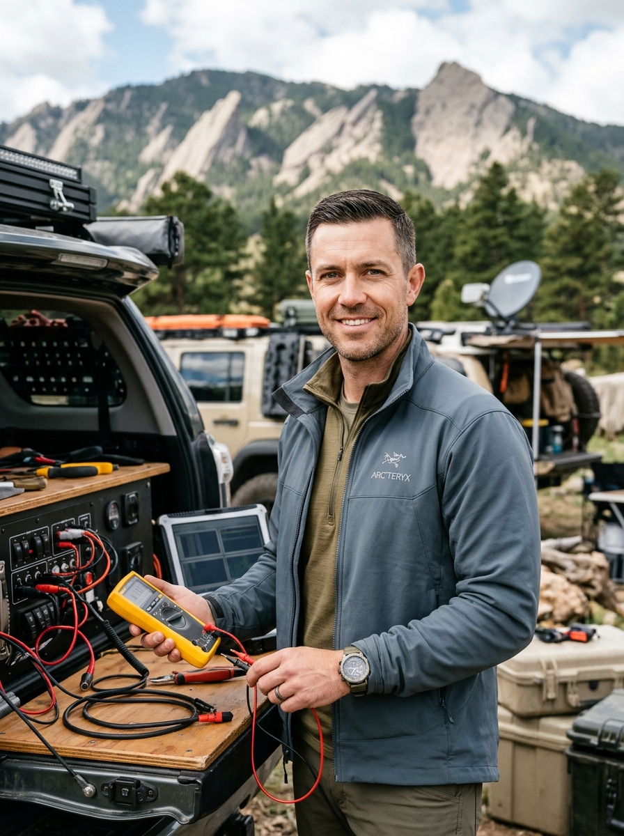
Marcus Vance is a mechanical and electrical systems engineer with 14 years of backcountry telemetry testing across the Rocky Mountains, Mojave Desert, and Cascade Range. Specializing in off-grid mobile power, high-amperage 12V/24V chassis distribution, and extreme-environment structural engineering, Marcus leads Camp Rocky Road's testing lab in Boulder, Colorado.
Related Technical Field Guides
Backcountry Water Purification: Hollow Fiber Membranes vs. UV & Chemical Treatment
Satellite Messengers Tested: Iridium vs. Globalstar Network Canopy Penetration