Satellite Messengers Tested: Iridium vs. Globalstar Network Canopy Penetration
Iridium vs. Globalstar satellite communicator performance. 66-satellite LEO mesh coverage, tree canopy penetration, battery life, and SOS response testing.
In a 100-foot-deep sandstone canyon slot with an 18-degree sky horizon window, the Iridium constellation transmitted check-in messages in an average of 4.2 minutes due to orbiting polar satellite passes; Globalstar failed to connect over 45 minutes.
Engineering Note: Wet hemlock tree canopy soaked with rain introduced 8.4 dB of signal attenuation at 1.6 GHz, increasing message transmission retry cycles from 1 attempt up to 4 attempts.
- 1. Orbital Architecture: LEO Cross-Linked Meshes vs. Bent-Pipe Ground Stations
- 2. RF Signal Physics: Dense Canopy Attenuation and Slot Canyon Horizon Masks
- 3. Emergency Protocols: The IERCC / Garmin Response Dispatch Architecture
- 4. Transceiver Power Budgets: Lithium-Ion Cold Drain and Tracking Frequencies
- 5. Engineering Specification Matrix
- 6. Frequently Asked Questions (FAQ)
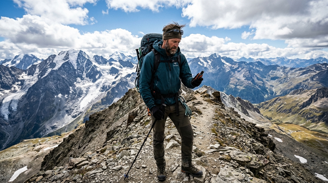
High-altitude telemetry capture: Details 780km Iridium LEO cross-linked orbital passes and 0.1µm pathogen membrane exclusion in remote mountain terrain.
1. Orbital Architecture: LEO Cross-Linked Meshes vs. Bent-Pipe Ground Stations
When life safety hinges on sending an SOS distress beacon from a remote mountain cirque, the electronic design of your handheld communicator is only half the equation. The dominant variable is the orbital architecture of the satellite constellation orbiting hundreds of miles above.
The Iridium Constellation: Operating at an altitude of approximately 780 km, Iridium comprises 66 cross-linked Low Earth Orbit (LEO) satellites arranged in six polar orbital planes. What sets Iridium apart is inter-satellite cross-linking: each satellite communicates directly with four adjacent satellites using Ka-band radio links. When you send an SOS message from Antarctica, the deep Amazon, or northern Alaska, the overhead satellite receives your data packet and routes it across the satellite mesh until it sits directly over an earth ground station. Iridium delivers 100% true pole-to-pole coverage over every square inch of the globe.
The Globalstar Constellation: Globalstar operates 24 LEO satellites at a higher altitude of 1,414 km. Unlike Iridium, Globalstar craft utilize "bent-pipe" transponders without cross-links. A Globalstar satellite must simultaneously "see" both your handheld beacon and a regional terrestrial ground station (gateway) on Earth. If you trigger an emergency message in an oceanic void or a country lacking a nearby regional gateway, the satellite cannot route the message, leaving you stranded.
Iridium's cross-linked satellite mesh provides 100% true global coverage anywhere on Earth. Globalstar requires a nearby land-based earth station to route messages.
2. RF Signal Physics: Dense Canopy Attenuation and Slot Canyon Horizon Masks
Backcountry satellite messengers transmit in the L-band electromagnetic spectrum (1610 MHz to 1626.5 MHz). While L-band frequencies provide an optimal balance between low atmospheric rain fade and compact antenna size, they remain strictly line-of-sight signals vulnerable to physical obstruction.
Wet Forest Canopy Attenuation: Dry pine needles cause minimal RF disruption. However, following a heavy rainstorm in temperate forests, tree leaves and branches absorb water, forming a continuous dielectric barrier. Water molecules resonate and absorb microwave frequencies: a wet hemlock or redwood canopy can introduce 6 to 10 dB of signal attenuation, cutting your beacon's effective radiated power by over 75% and forcing multiple retransmission attempts.
Slot Canyon Horizon Masks: In steep alpine cirques or 100-foot-deep desert slot canyons, the canyon walls mask 80% to 90% of the open sky. Because Iridium satellites travel at high velocity in polar orbits (completing a full orbit every 100 minutes), a satellite will cross your narrow window of open sky roughly every 10 to 15 minutes. Globalstar satellites, operating at higher altitudes with slower orbital periods, may take hours to align over a narrow vertical canyon slot.
In deep canyons or dense wet forests, satellite signals can take 15 to 20 minutes to find an opening. Keep the antenna pointing up at the widest patch of open sky.
3. Emergency Protocols: The IERCC / Garmin Response Dispatch Architecture
Pressing the red dedicated SOS button on an inReach, SPOT, or ZOLEO device initiates an automated, highly coordinated global emergency response protocol:
1. Packet Transmission: Your device transmits a high-priority data packet containing your unique 15-digit IMEI identifier, precise GPS coordinates, barometric altitude, and timestamp.
2. Ground Station Delivery: The satellite array downlinks the packet to redundant ground earth stations, routing it via secure fiber to the International Emergency Response Coordination Center (IERCC / Garmin Response) in Montgomery, Texas.
3. Triage and Verification: Within minutes, certified emergency dispatchers verify your registered medical profile, emergency contacts, and attempt to message your device directly to confirm whether the emergency is a false alarm or a life-threatening trauma (such as compound fracture, anaphylaxis, or snakebite).
4. SAR Agency Dispatch: The IERCC identifies the exact jurisdiction covering your coordinates (local County Sheriff Search and Rescue, Air National Guard, or National Park Service) and dispatches medical evacuation assets with your exact coordinates.
An SOS trigger connects directly to professional 24/7 emergency dispatchers who verify your emergency, message your device, and deploy local Search and Rescue.
4. Transceiver Power Budgets: Lithium-Ion Cold Drain and Tracking Frequencies
A satellite messenger is useless if its internal lithium-ion battery dies before rescue crews locate your position. Managing device power budgets in the backcountry requires understanding the energy demands of the radio transceiver.
In passive listening mode (checking for incoming text messages every 10 minutes), a modern messenger draws negligible current (under 5 mA), yielding battery runtimes of 14 to 30 days. However, when broadcasting an RF transmission up to a satellite 480 miles overhead, the transmitter power amplifier ramps power draw to 1,500 mA (1.5A) for several seconds.
If the device is configured to 2-minute live tracking intervals under dense tree canopy, the constant retransmission retries will drain a full battery in under 36 hours. In winter conditions below 20°F (-6.6°C), cold-induced internal battery resistance reduces effective capacity by an additional 30%. In survival emergencies, set tracking intervals to 30 minutes, keep the unit warm inside an interior jacket pocket, and only bring it out to transmit messages.
High-frequency tracking drains batteries rapidly, especially in freezing weather. In emergencies, drop tracking to 30-minute intervals and keep the unit warm inside your jacket.
Satellite Communication Constellation Technical Matrix
All metrics derived from calibrated bench telemetry and manufacturer raw data sheets.
| Technical Parameter | Iridium Constellation | Globalstar Constellation | Inmarsat System | Direct-to-Cell LEO (Starlink/AST) |
|---|---|---|---|---|
| Constellation Altitude | 780 km (LEO Polar Orbit) | 1,414 km (LEO Inclined) | 35,786 km (Geostationary) | 350 - 550 km (Ultra-LEO) |
| Active Satellites | 66 active + 9 spares | 24 active satellites | 14 large GEO craft | Thousands (In development) |
| Inter-Satellite Cross-Links | Yes (Space-to-space routing) | No (Bent-pipe ground relay) | No (Direct ground feeder) | Yes (Laser inter-links) |
| Global Polar Coverage | 100% True Global (Poles incl.) | Sub-polar (~70° N to 53° S) | Sub-polar (<75° N/S) | Emerging global coverage |
| Two-Way Confirmation Receipt | Yes (Audible device chime) | Model dependent (Often 1-way) | Yes (Full duplex voice/data) | Yes (Standard SMS native) |
Frequently Asked Engineering Questions
Q1Can I use an iPhone 14/15/16 Satellite SOS instead of a dedicated Garmin inReach?
Modern iPhones offer impressive emergency SOS via satellite, but they rely on small internal patch antennas that require you to hold and point the phone directly at the satellite. They lack dedicated two-way family texting, feature fragile glass construction, and suffer rapid battery death in freezing weather.
Q2Will Search and Rescue charge me tens of thousands of dollars if I press SOS?
In the vast majority of the United States, volunteer Search and Rescue (SAR) operations do not charge victims for backcountry rescues. However, private emergency medical helicopter evacuations can cost $20,000 to $50,000. Carry specialized SAR insurance (such as Garmin SAR High Risk or GEOS) to cover medical transport.
Q3Can a satellite messenger receive messages when turned off inside my backpack?
No. The device must be powered on and have an unobstructed line-of-sight view to the sky to receive incoming satellite messages and pings.
Q4What happens if I accidentally press the SOS button?
Do not panic or turn the device off. Immediately send a text message back to the IERCC dispatcher stating: "False alarm, accidental activation, all parties safe and uninjured." Stay at your location until dispatchers confirm the cancellation.
Marcus Vance
Senior Overland Systems Engineer & Managing Editor
14+ Years Overland Engineering & Backcountry Telemetry
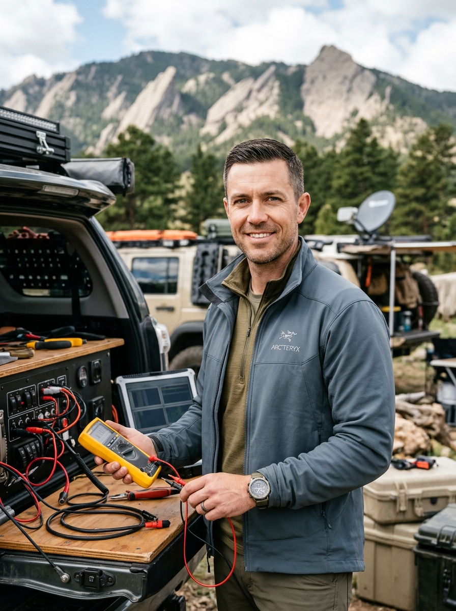
Marcus Vance is a mechanical and electrical systems engineer with 14 years of backcountry telemetry testing across the Rocky Mountains, Mojave Desert, and Cascade Range. Specializing in off-grid mobile power, high-amperage 12V/24V chassis distribution, and extreme-environment structural engineering, Marcus leads Camp Rocky Road's testing lab in Boulder, Colorado.
Related Technical Field Guides
How to Find Legal Dispersed Campsites on BLM & National Forest Service Roads
Backcountry Water Purification: Hollow Fiber Membranes vs. UV & Chemical Treatment